3D Point Clouds
Cleaned, classified, and colorized point clouds delivered in industry-standard formats (.LAS, .LAZ, .E57, .RCP) for immediate CAD/BIM use.

Bridge the gap between the physical and digital world. We generate centimeter-accurate 3D models and point clouds of your infrastructure, enabling smarter planning, seamless BIM integration, and remote site management.
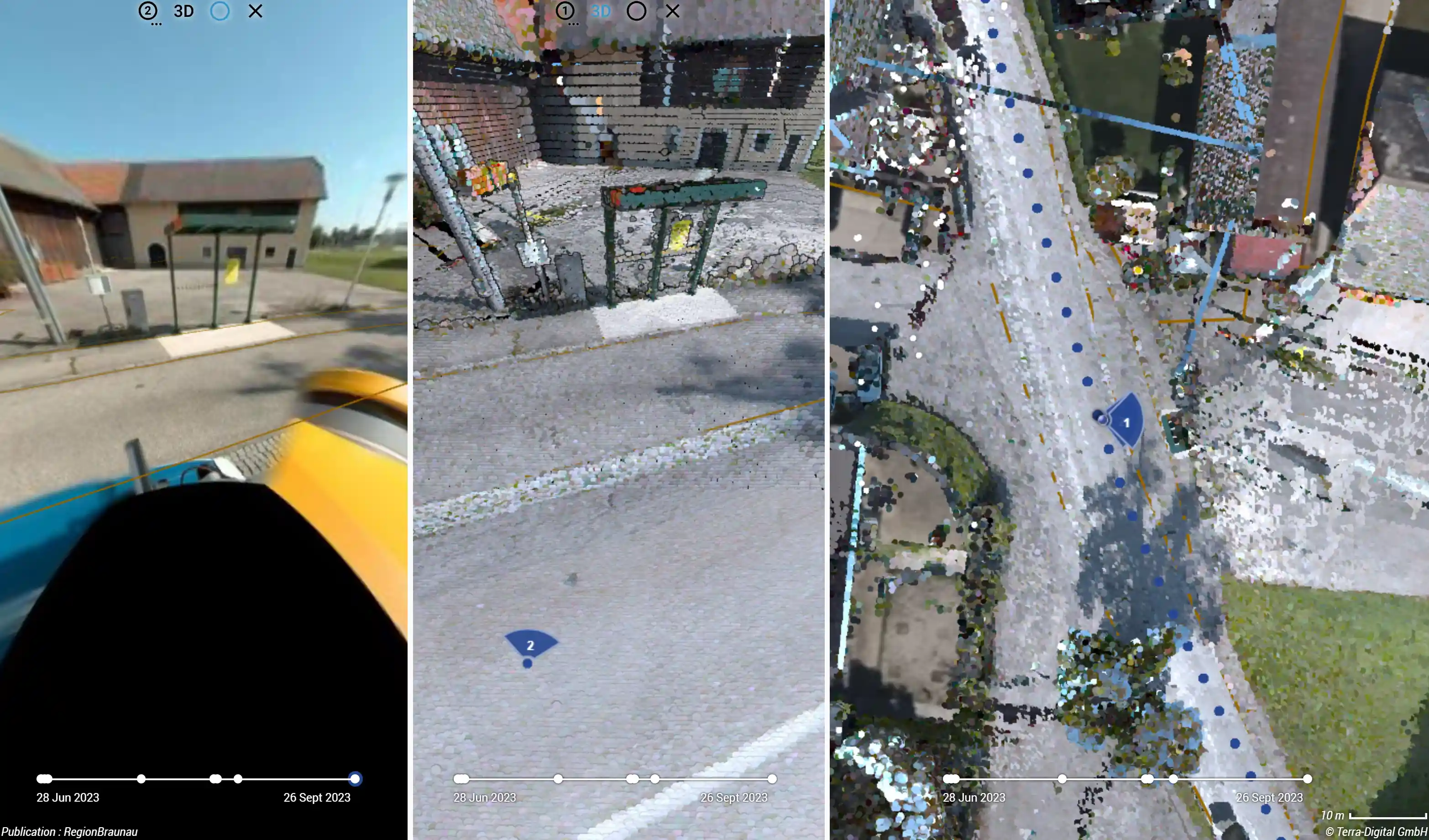
Capture hundreds of kilometers of infrastructure without disrupting traffic.
For large-scale urban environments, highways, and utility corridors, we deploy our state-of-the-art Mobile Mapping Systems (MMS). Mounted on a vehicle, this setup combines high-density LiDAR laser scanners with high-resolution 360-degree optical cameras.
As we drive at normal traffic speeds, the system captures millions of survey-grade data points per second, perfectly georeferenced using advanced RTK-GNSS and IMU (Inertial Measurement Unit) technology.
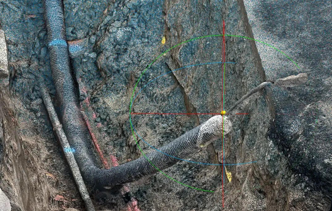
Agile, hyper-accurate 3D scanning for trenches, indoors, and complex geometries.
When the vehicle can't reach it, our Site Mapper technology takes over. We utilize professional-grade hardware accessories integrated directly with high-end smartphones. This transforms a mobile device into a powerful photogrammetry and LiDAR scanning tool.
Connected to an external RTK (Real-Time Kinematic) antenna, these handheld scanners generate centimeter-level accurate 3D models on the fly. It is the ultimate solution for as-built documentation of open trenches before backfilling.
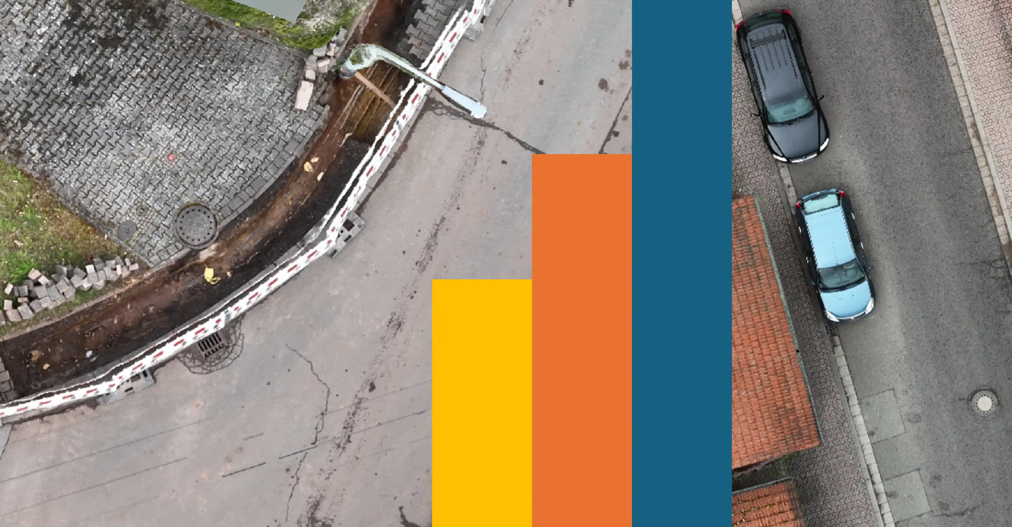
The big picture. Topographic mapping from a bird's-eye view.
For vast land areas, quarries, agricultural zones, or large construction sites, we utilize Unmanned Aerial Vehicles (UAVs). Our enterprise drones capture thousands of high-resolution, overlapping images in a matter of hours.
Using advanced photogrammetry software, we stitch these images together to create highly accurate orthomosaics, Digital Surface Models (DSM), and 3D textured meshes. It's the most cost-effective way to monitor earthworks and site progress over time.
We manage the massive amounts of raw data so you don't have to. We deliver optimized, ready-to-use spatial products tailored to your software environment.
Cleaned, classified, and colorized point clouds delivered in industry-standard formats (.LAS, .LAZ, .E57, .RCP) for immediate CAD/BIM use.
We convert raw 3D scans into intelligent 3D building models capturing architectural, structural, and MEP elements.
Don't have heavy CAD software? We host your Digital Twin on a secure web portal where you can view, measure, and share the 3D data via browser.
LiDAR (used in our Mobile Mapping) uses active laser pulses to measure distances, making it highly accurate even in poor lighting or through light vegetation. Photogrammetry (used in Drones and Site Mappers) uses algorithms to reconstruct 3D models from overlapping 2D photos, providing excellent photographic textures and color reproduction.
By pairing the smartphone with a professional RTK-GNSS rover pole, the captured 3D models achieve absolute global accuracy down to 1-3 centimeters. This easily meets the standard requirements for utility and topographic surveying.