CAD Exporting
Learn how to export 2D/3D polyline data into AutoCAD (.dxf, .dwg), ensuring layers, depths, and line styles match standard utility color codes.

Empower your in-house team with industry-leading expertise. We provide comprehensive training programs covering everything from hardware configuration and field data collection to advanced software interpretation and CAD/GIS integration.
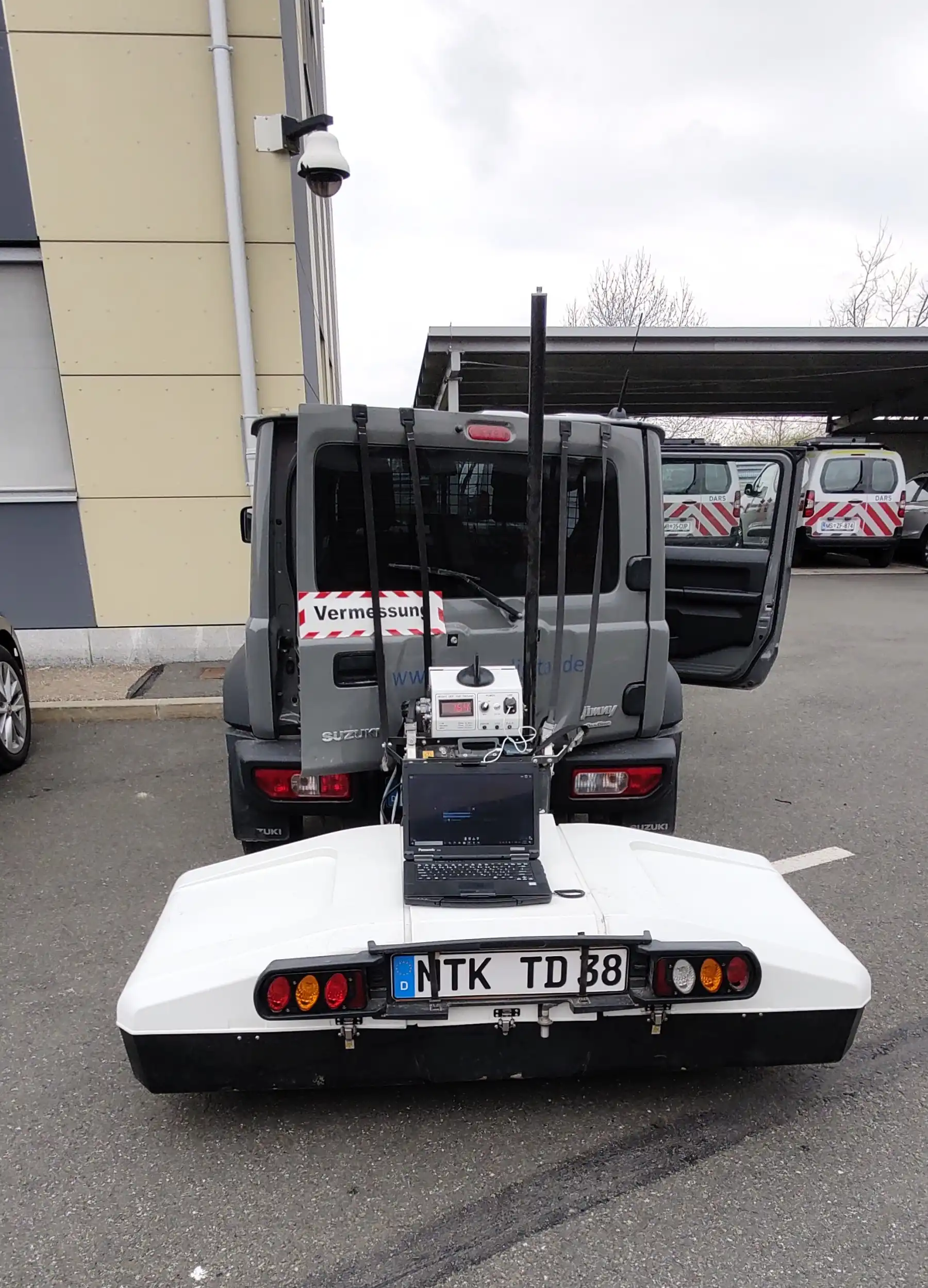
Master the equipment before you step onto the construction site.
Acquiring clean, high-quality data is the foundation. Our hardware training focuses on transforming beginners into confident operators. We teach your team how to properly handle, configure, and maintain GPR, EML (Electromagnetic Locator), Digital Twin (Mobile Mapping, Site Mapper, Drones) systems in real-world scenarios.
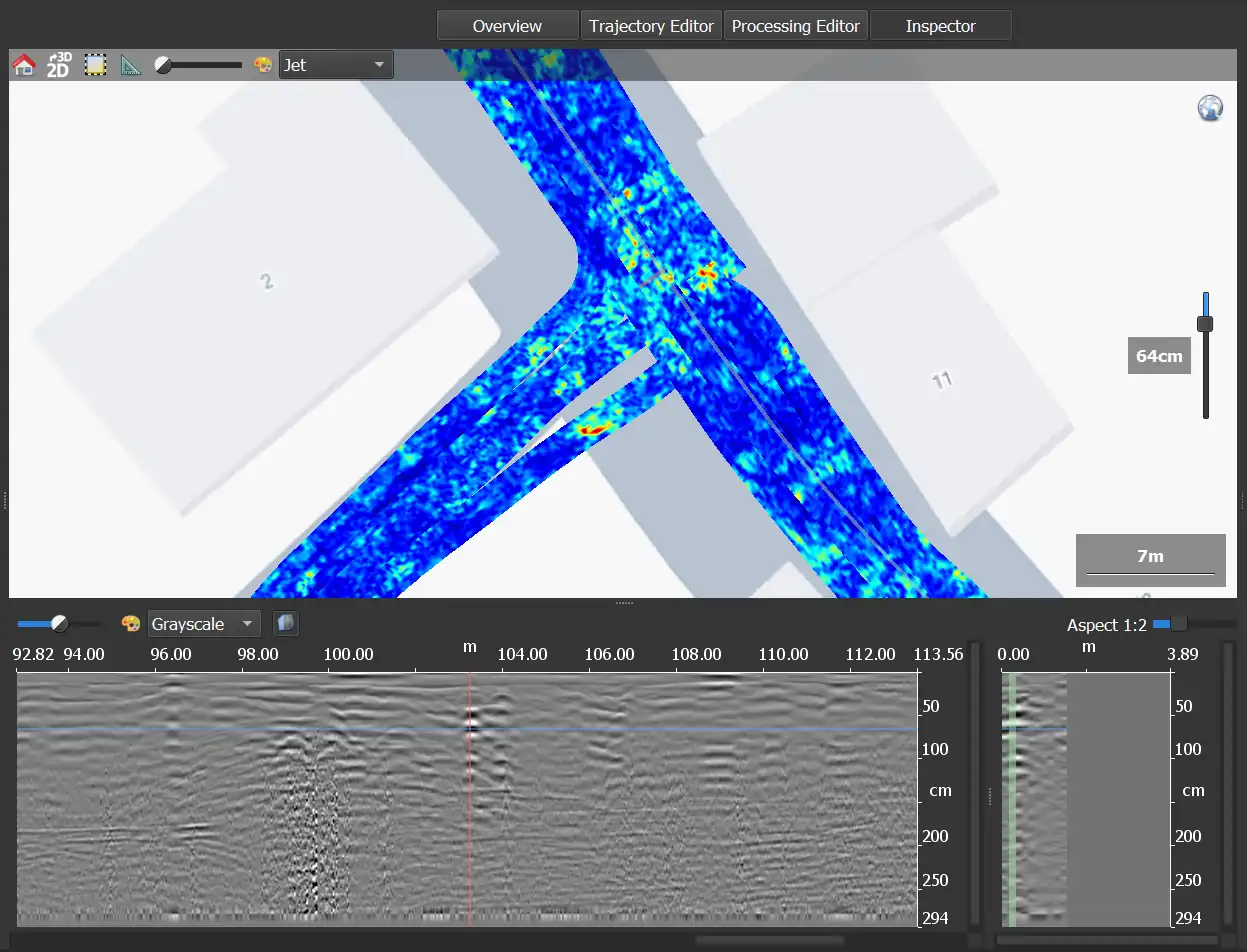
Turn raw data into actionable, intelligent deliverables.
Interpreting GPR data is both a science and an art. Looking at raw radargrams can be overwhelming without the right foundation. Our software training part teach your engineers how to filter noise, enhance target signatures, and confidently identify subsurface utilities.
Looking for processing of digital models? We cover this as well!
The job isn't finished until the data is delivered. Learn how to export your interpreted findings into industry-standard formats that engineers, architects, planners, and GIS managers can actually use.
Learn how to export 2D/3D polyline data into AutoCAD (.dxf, .dwg), ensuring layers, depths, and line styles match standard utility color codes.
Convert GPR targets into spatial databases (Shapefiles, Geodatabases, Geopacks). We teach you how to append attribute data (name, depth...) to your spatial data.
Discover how to export processed 3D GPR grid data to overlay with Mobile Mapping or Drone photogrammetry in a Digital Twin environment.
No prior experience is necessary. We tailor our training to the skill level of your team. Whether you are a total beginner learning to push the cart, or a seasoned surveyor looking to master advanced post-processing software, we adapt the curriculum to your needs.
Yes! The best way to learn is on the hardware and software you will actually use. We can provide on-site training at your facility, calibrating and teaching your staff directly on your specific devices.