Digital Twin for Infrastructure: From Capture to Intelligent 3D Model
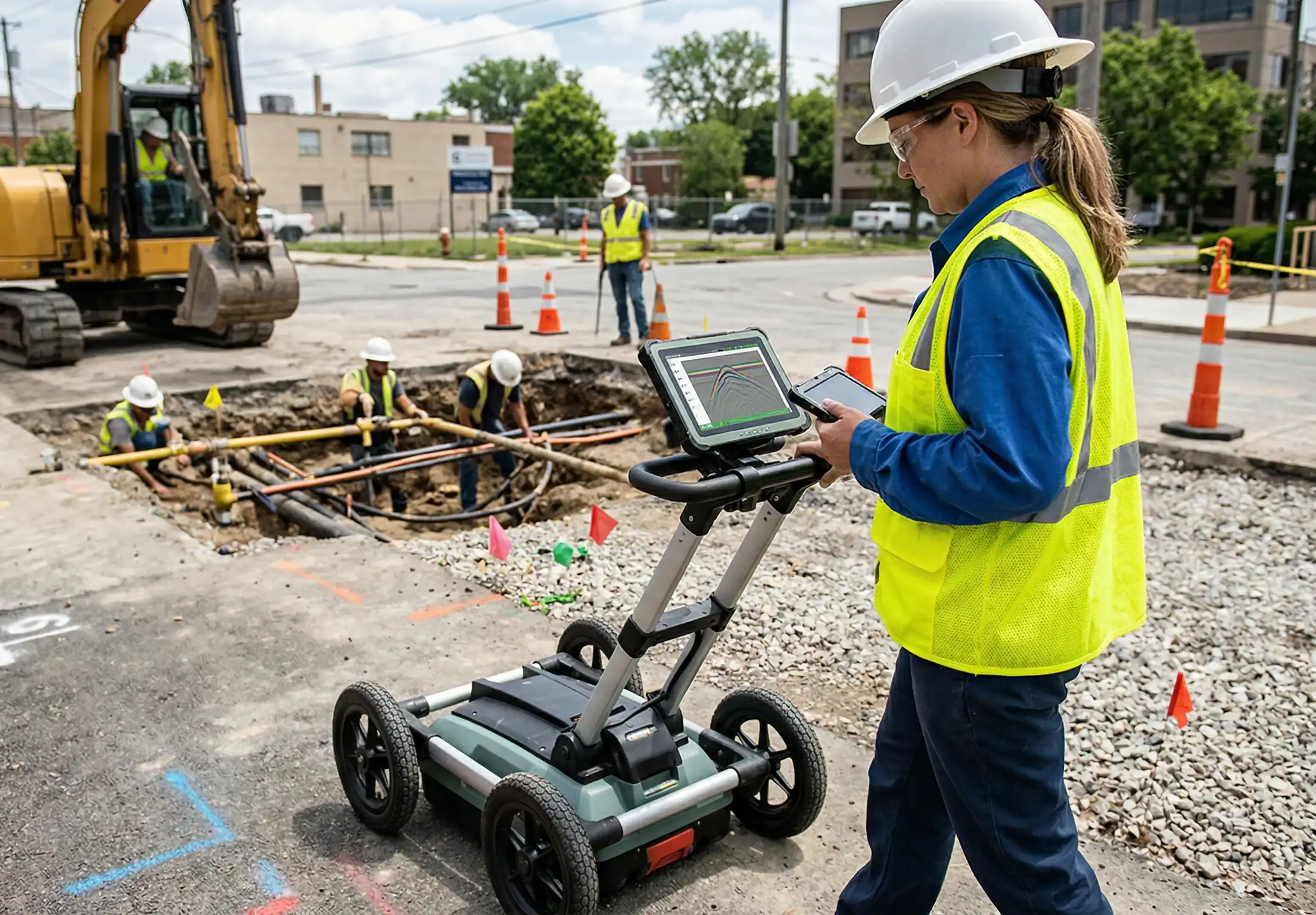
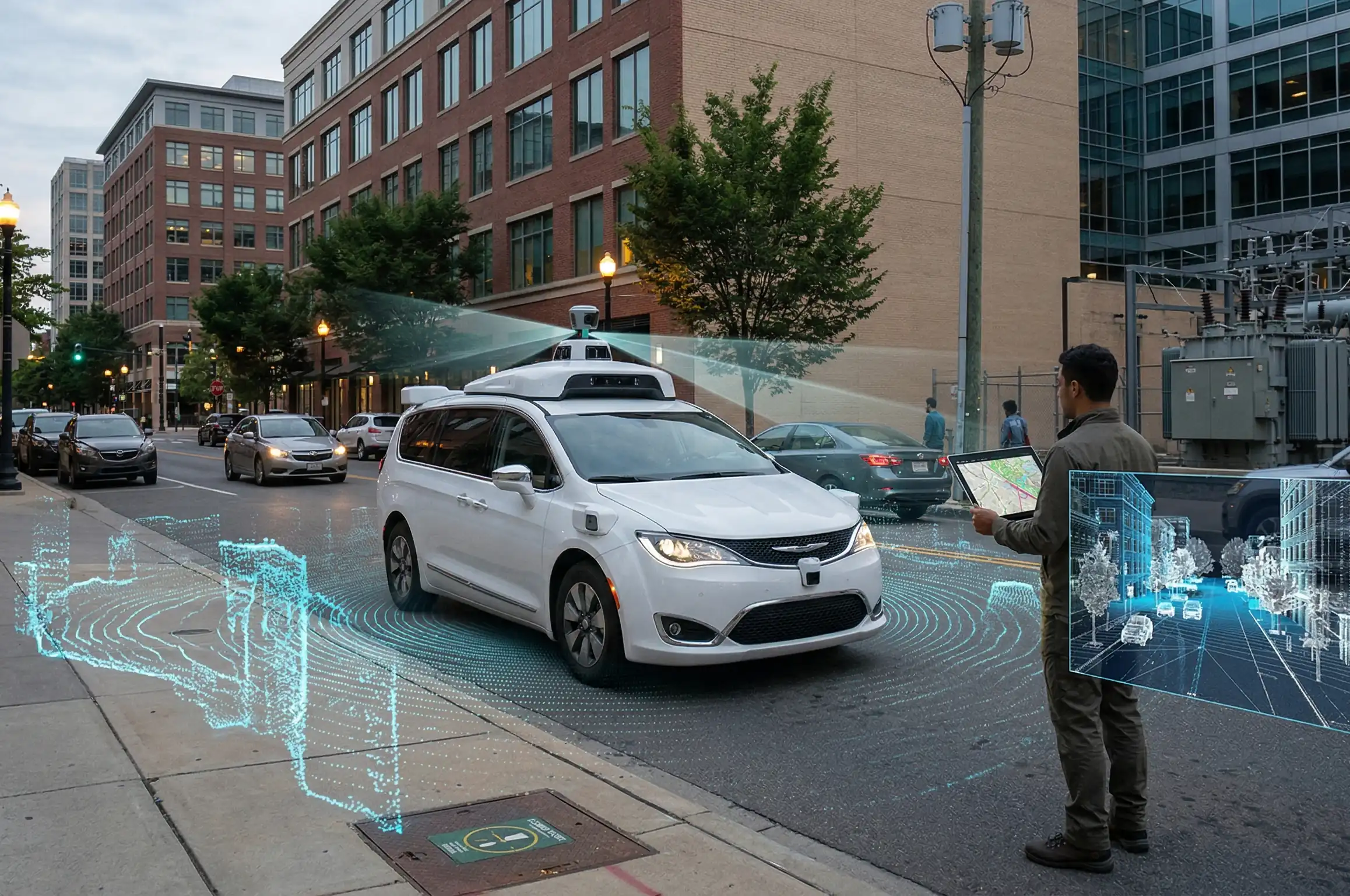
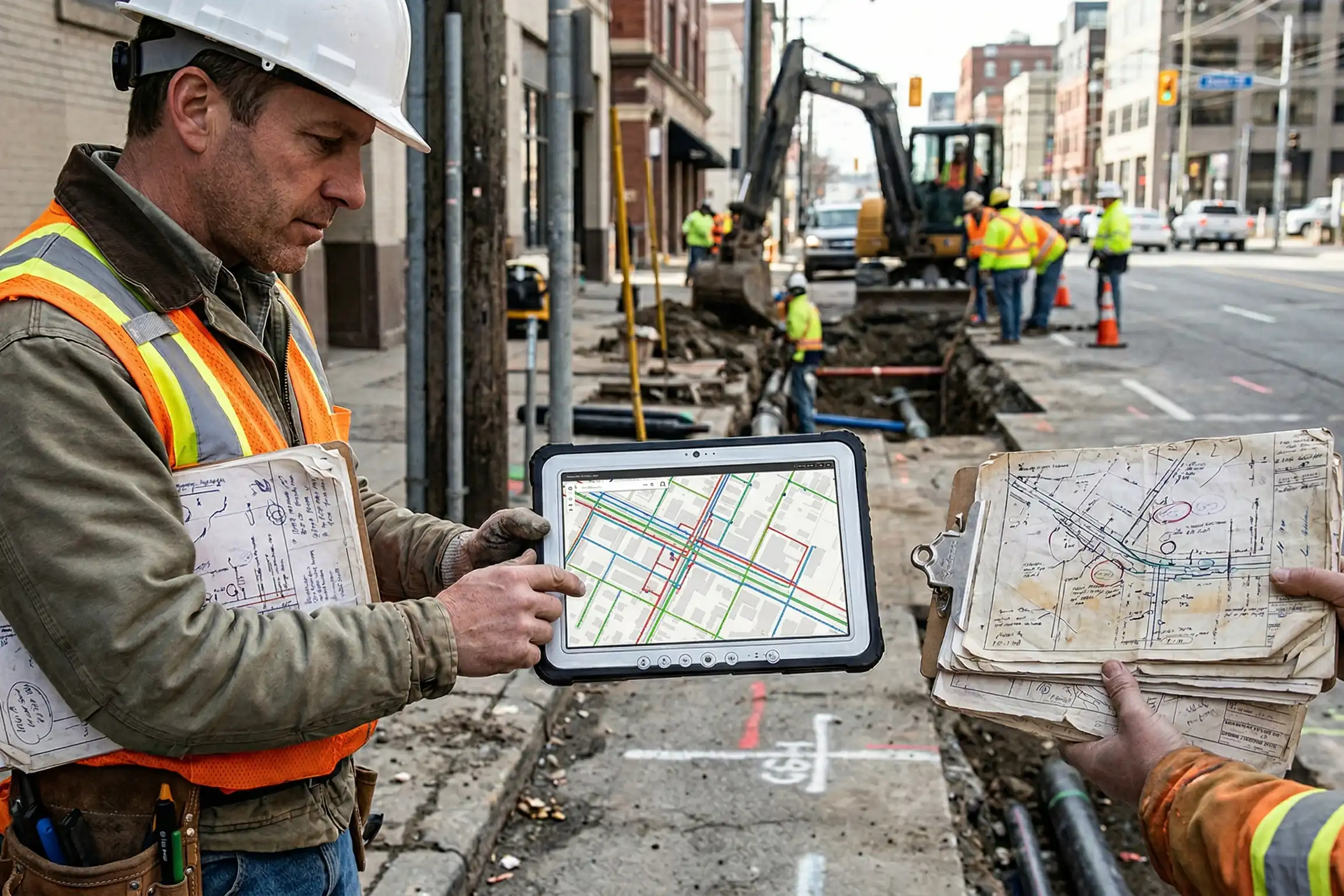
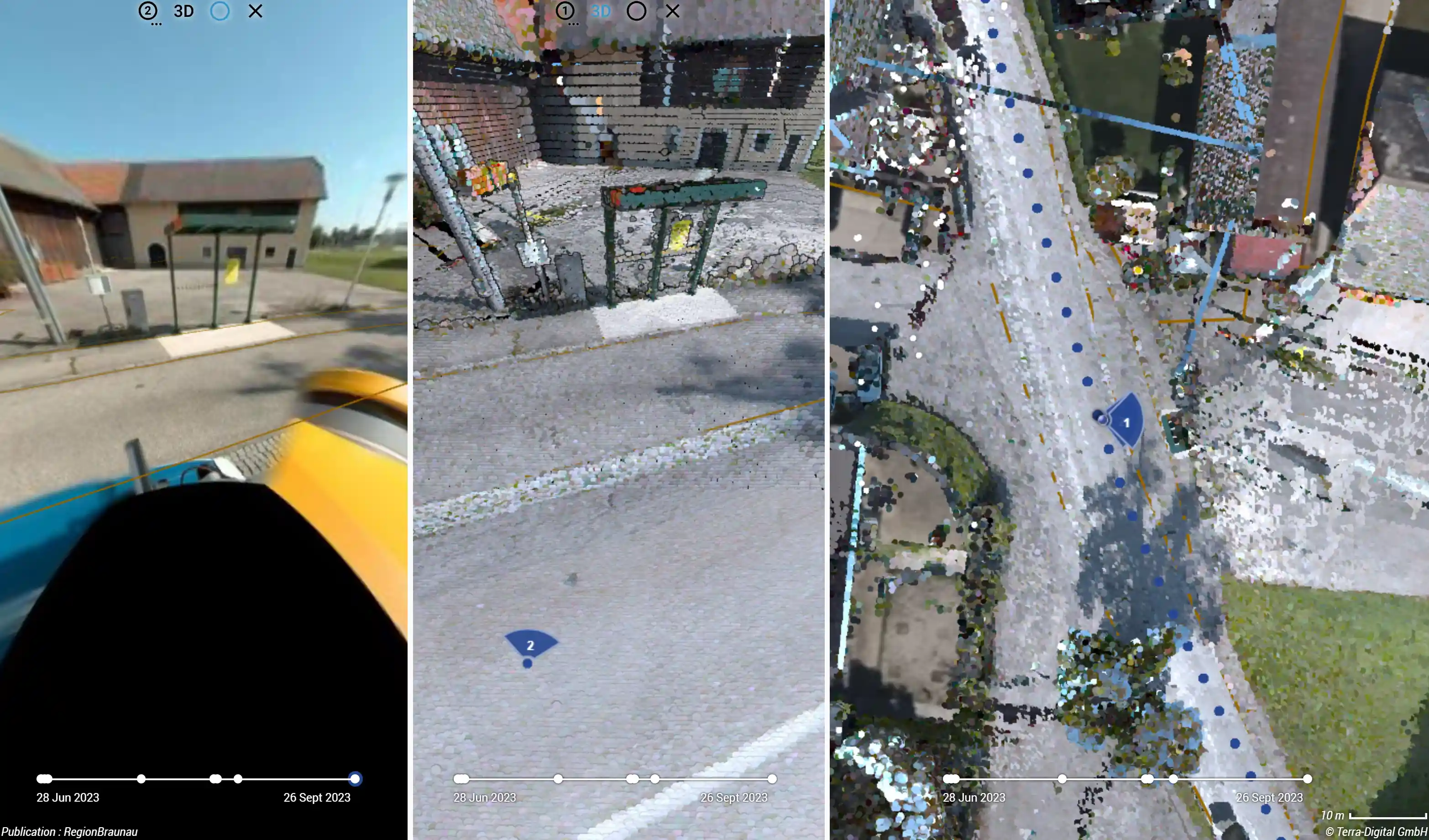
Discover how a Digital Twin is created through 3D Mobile Mapping and LiDAR. Optimize your infrastructure projects, improve BIM integration, and reduce construction costs by seamlessly merging above-ground and underground reality.
View