TerraHUB: Your Geospatial Data Platform

Your centralized Geospatial Portal for high-quality underground and surface spatial data. Access existing datasets, request new surveys, or monetize your own data all in one place.

Launch TerraHUB
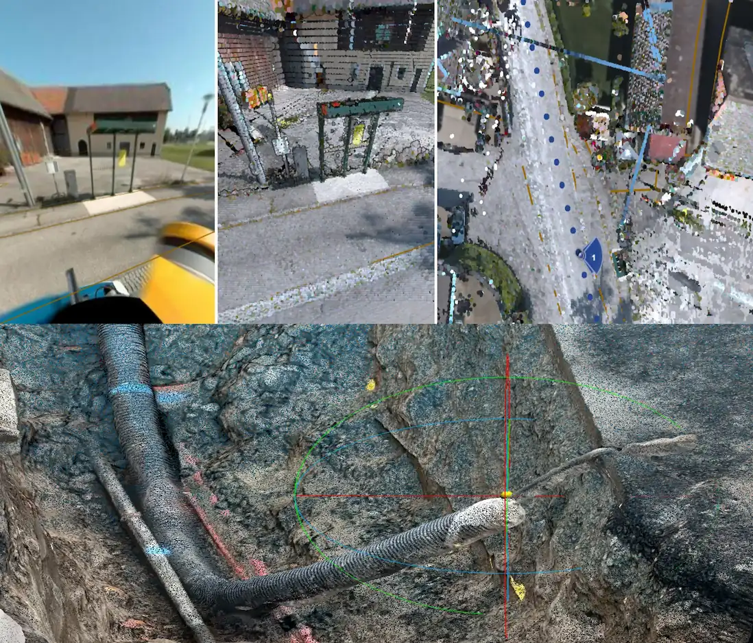
A compilation of images with representative results for 3D digital models and digital twins in an urban environment

Comprehensive Datasets

Small+Big Data Ready Multi-resolution Cross-platforms

TerraHUB bridges the gap between the surface and the subsurface. Our platform allows you to seamlessly visualize and download highly accurate spatial data tailored for engineering, urban planning, construction and so on...

GPR & Utilities:

Detected underground utility networks and raw radargrams.

Point Clouds:

High-density LiDAR and photogrammetry scans.

360° Panoramas:

Immersive street-level and site-level imagery.

Orthophotos & Plans:

High-res drone mapping and digitized plans.

More:

Points of interest, maps, digital twin-data ready and so on...
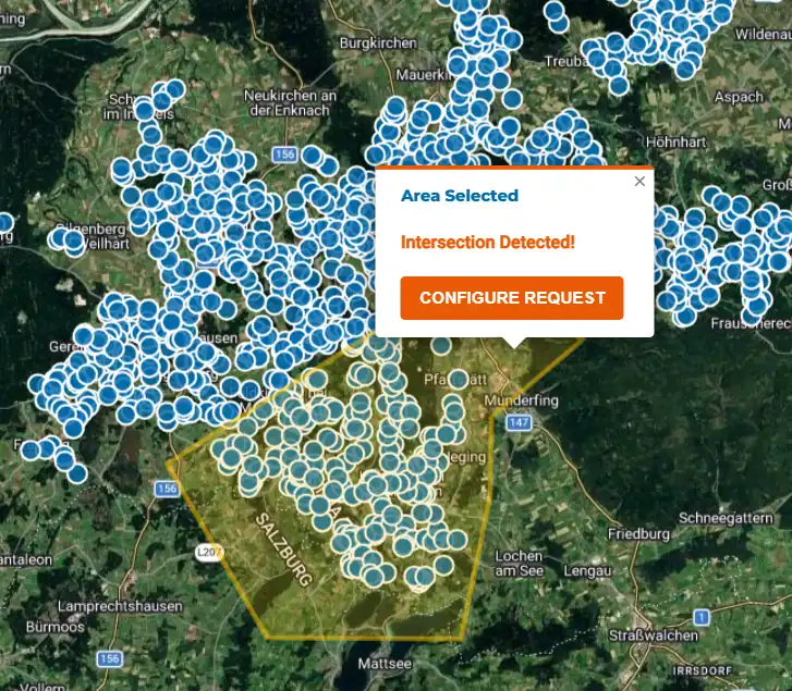
Overview of geospatial datasets available on TerraHUB

For any need

Existing Data Custom Request

Getting the data you need has never been easier. Navigate the map to your area of interest and interact with our intuitive request system.

Select Existing:

Click on highlighted polygons to instantly request access to already surveyed data in our archive.

Draw & Request:

Use the polygon tool to outline a new area. If no data exists, instantly request a custom survey quote for that exact perimeter.

Multi-format Support:

Request data delivery in your specific data format.


Level 3

Decision-ready

Level 2

Processed Data

Level 1

Raw Data

Three Levels of Detail

Custom Processing

Pay only for what you need. Whether you have an in-house GIS team or need a ready-to-present report, choose the processing tier that fits your workflow.

Level 1 (Raw):

Unprocessed GPR radargrams and unclassified point clouds. Perfect if you process data in-house.

Level 2 (Processed):

Cleaned point clouds, traced 2D/3D polygons, and identified utility lines. Ready for immediate CAD/GIS integration.

Level 3 (Complete):

Comprehensive analysis, detailed 3D Digital Twin models, collision detection, and finalized management reports. Decision-ready.

Geospatial data partnership and B2B consulting meeting at Terra Digital

Partner With Us: Monetize Your Data

Do you already own extensive GPR, LiDAR, or GIS data from past projects? Don't let it sit idle on hard drives.

TerraHUB offers a partnership program. Host your datasets securely on our platform, make them discoverable to other engineering, construction firms & many more... and create a new recurring revenue stream.

  • Secure Hosting: Enterprise-grade storage.
  • Passive Income: Earn when users purchase your data.
  • Visibility: Reach a massive network of industry professionals.
Become a Partner

Ready to explore?

Launch TerraHUB