Large-Scale Digitalization of Utility Networks
Context: Our customer had a database of plans containing information about the placement of existing and future utility networks. However, their database consisted of only simple images, without any spatial attributes or manageable spatial elements such as vectors.
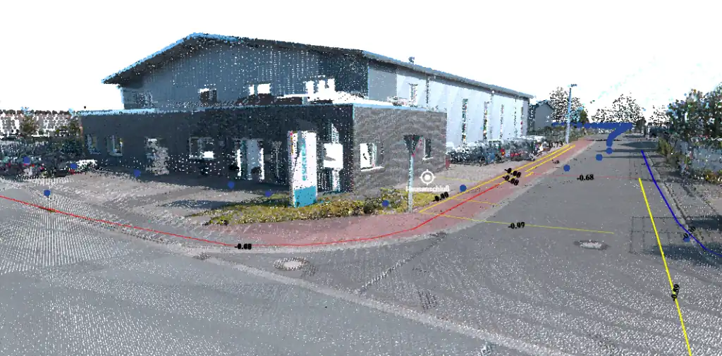
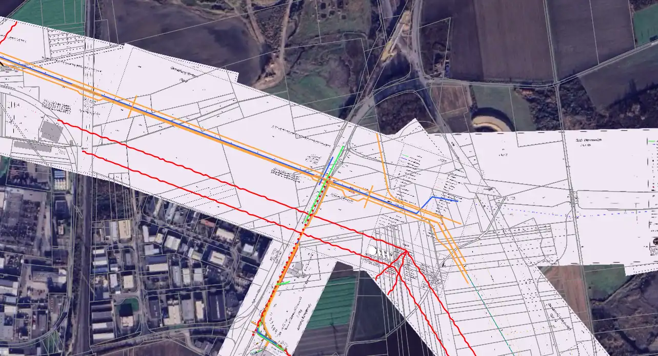
Intervention: We took each plan individually and through a manual process combined with automated operations, we managed to give each plan the spatial information it needed and build all the utility networks in vector format and topologically correct, while also assigning them relevant metadata.
Result: The data sent is completed from A to Z and ready to use regardless of the working environment, being open to any post-processing and editing at the client's discretion.