Geodatabases
Creation of ESRI File Geodatabases (.gdb) or GeoPackages, featuring strict rules and needs requested by the customer like topology rules, domains, and subtypes to prevent future data entry errors.

Turn raw field data and outdated paper maps into spatial datasets. We specialize in mapping complex underground utility networks, georeferencing legacy plans, and building robust GIS environments for your assets.
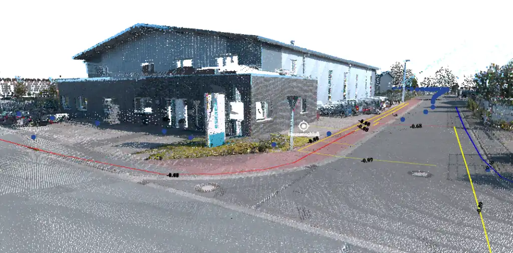
We don't just locate utilities; we give them spatial intelligence.
Detecting a pipe in the field is only half the battle. To be truly useful, that data must be integrated into a Geographic Information System (GIS). We take the raw outputs from our Ground Penetrating Radar (GPR) surveys, Electromagnetic Locators (EML), and RTK-GNSS Points of Interest (POIs), and process them into connected, topological networks.
Instead of receiving scattered coordinate points, you receive a smart network where every node, and line segment is accurately mapped and connected.
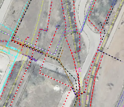
Bringing your paper data into the modern digital era.
Many municipalities and utility owners sit on a wealth of historical data—old CAD files without spatial references, scanned PDF as-builts, or even hand-drawn paper maps. Our Digitization Services rescue this data.
We perform highly accurate georeferencing, anchoring these unreferenced plans to real-world coordinate systems (e.g., UTM, WGS84, or local national grids) using Ground Control Points (GCPs), modern basemaps and more reference sources. Once aligned, we meticulously digitize the utility lines into vector formats.
We build robust architectures for your geospatial data. Whether you use QGIS, ESRI ArcGIS or custom web portals, our deliverables are ready-to-use.
Creation of ESRI File Geodatabases (.gdb) or GeoPackages, featuring strict rules and needs requested by the customer like topology rules, domains, and subtypes to prevent future data entry errors.
Delivery in universally accepted formats like Shapefiles (.shp), GeoJSON, or KML, ensuring compatibility across all planning and CAD software.
Preparing and publishing your newly digitized utility networks to cloud-based Web GIS platforms for field access and stakeholder collaboration.
Yes. If a plan lacks a coordinate system (e.g., a scanned paper map or a local CAD drawing), we use visible permanent features—such as building corners, manholes, or road intersections—as Ground Control Points. We match these points to highly accurate orthophotos or RTK-surveyed points to "rubber-sheet" and align the plan to the real world.
Topology defines how lines and points relate to each other. Without topology, a water pipe crossing a valve might just be two "dumb" lines overlapping. With strict GIS topology, the pipe physically snaps to the valve, creating a node. This allows engineers to perform flow analysis, isolate leakages, and run accurate "what-if" scenarios.