
For decades, utility networks have relied heavily on fragile paper maps, physical blueprints, and localized institutional knowledge. Today, transitioning from paper to spatial data through GIS Digitization is essential for utility companies aiming to enhance operational efficiency, reduce risks, and future-proof their critical infrastructure.
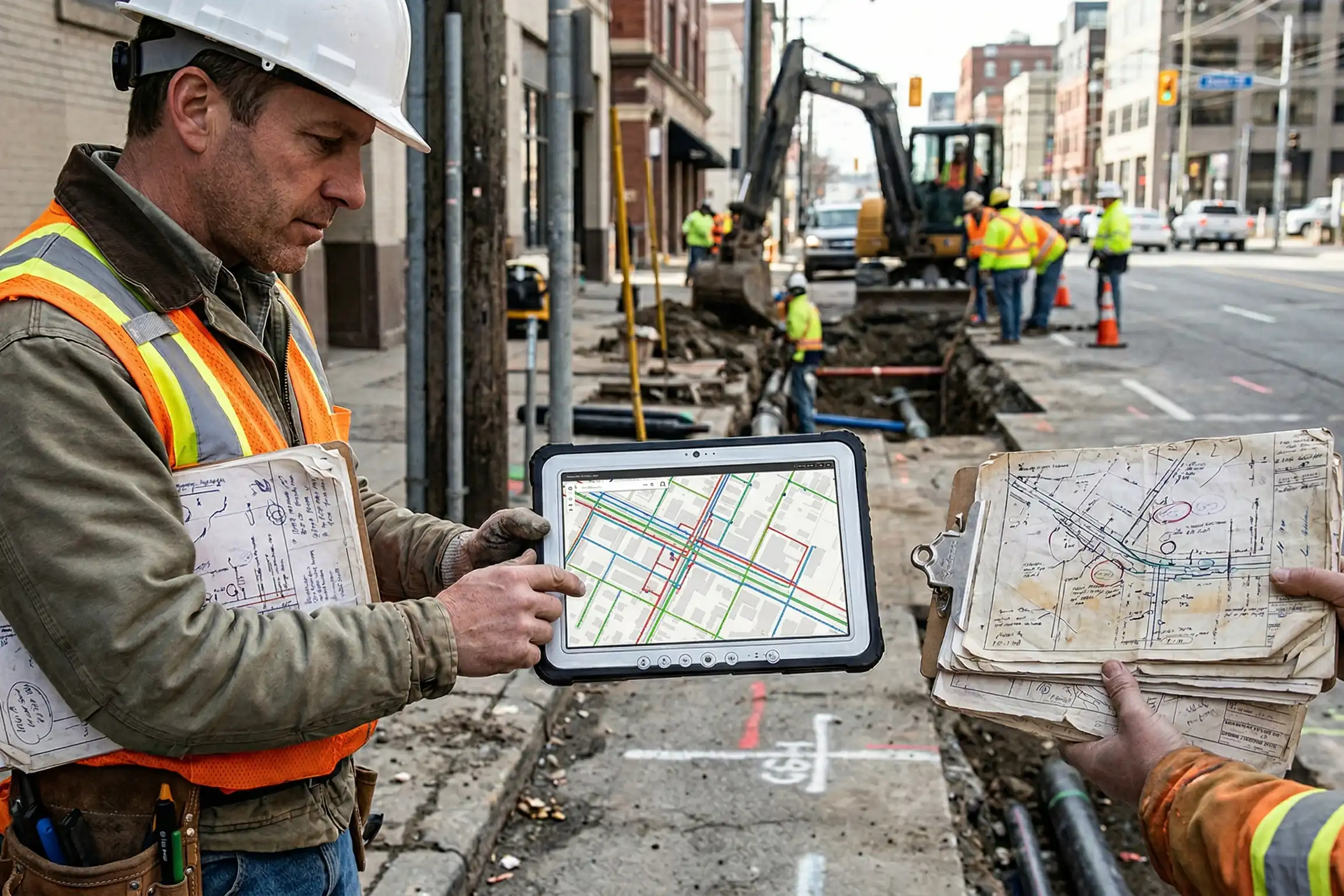
1. Eliminating data silos and improving accuracy
Legacy paper records are highly susceptible to wear, loss, and human error. Digitizing these records into a centralized Geographic Information System (GIS) platform ensures that field crews, engineers, and office teams have access to a reliable, single source of truth.
The transformation to digital spatial data offers critical operational advantages:
- Instant accessibility: Digital records can be accessed instantly from any mobile device, empowering field technicians to verify pipe or cable locations directly on-site.
- Enhanced accuracy: Spatial data mitigates the risk of relying on outdated or illegible drawings, significantly reducing the chances of accidental utility strikes during excavation.
- Seamless updates: As infrastructure evolves and new lines are laid, digital maps can be updated in real-time, ensuring everyone works with the most current environmental context.
2. Streamlining maintenance and emergency response
When a water main breaks or a vital power line goes down, every second counts. Shuffling through dusty archive cabinets is no longer a viable strategy. A digitized utility network allows for rapid spatial analysis, helping dispatchers route crews effectively and isolate problem areas faster.
Key Insight
Transitioning to a GIS-based digital asset management system drastically cuts down data retrieval times, allowing rapid response teams to locate faults accurately, minimize service disruptions, and lower repair costs.
Sub-section: Unlocking predictive maintenance
Beyond reactive measures, spatial data enables proactive asset management. By analyzing the age, material type, and spatial context of underground utilities within a GIS framework, operators can identify vulnerable areas, predict potential failure points, and schedule preventative maintenance long before catastrophic failures occur.
Conclusion
The journey from paper blueprints to intelligent spatial data is a vital step for any forward-thinking utility provider or municipality. GIS digitization not only safeguards historical infrastructure data but transforms it into a dynamic, queryable asset that drives safety, efficiency, and smart city integration. Don't let your critical infrastructure data degrade in a filing cabinet.